I am briefly bringing Brian Goes to Town out of
hiatus to write about an an issue which has troubled me greatly. I
further believe that it deserves to be known by all of those who have
appreciated my photographs and my writing.
As reported in the Philly Post this morning, the issue involves Old Images of Philadelphia, a highly popular Facebook page which shares a large
number of historic photographs of the city. A kind reader brought to
my attention on February 25 that the author of the page, Carl Manley,
had duplicated a large number of images from this blog without my
knowledge or consent. While my initial count included 43 then-and-now
images which were used without attribution, I have since discovered
that nearly all of my Philadelphia-area photographs have been posted
repeatedly, totaling over 200 instances of copyright violation. In
some instances, my written text accompanying the images was also
copied, again with no citation. Consider the following Facebook
images as they appear at the time of this writing, compared to my
original post.

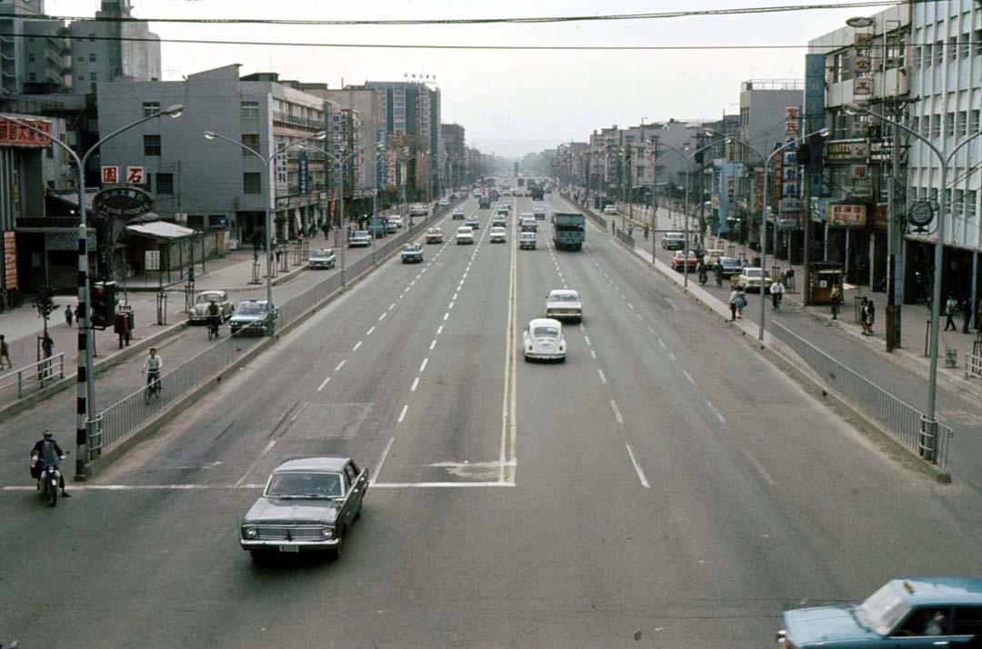
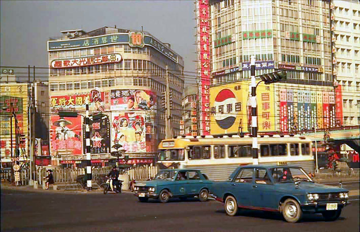
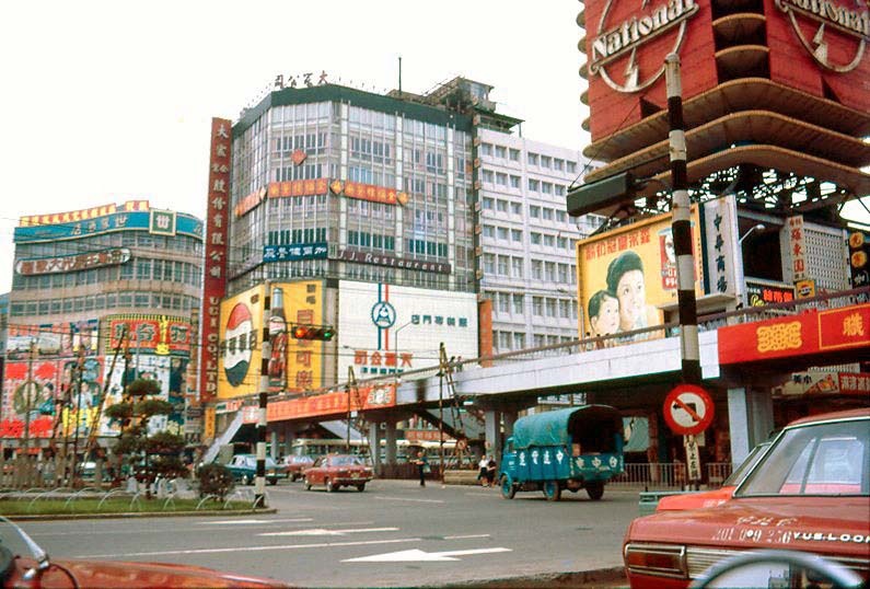
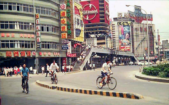
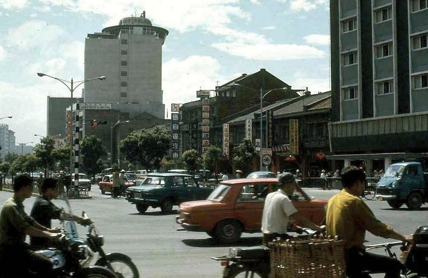
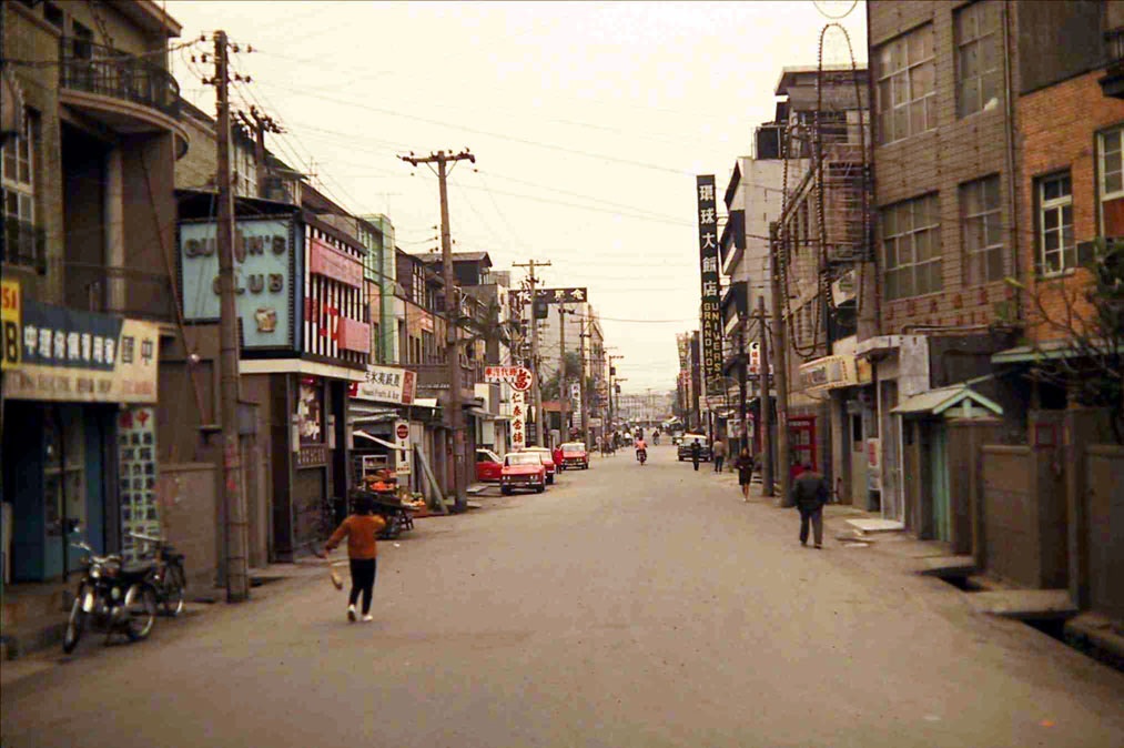
Originally posted on BGTT: http://briangoestotown.blogspot.com/2010/05/then-and-now-818-820-chestnut-street.html
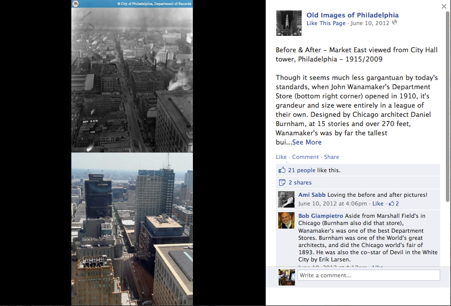
Originally posted on BGTT: http://briangoestotown.blogspot.com/2009/08/then-and-now-market-east-viewed-from.html
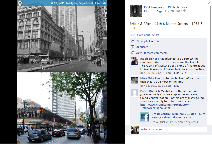
Originally posted on BGTT: http://briangoestotown.blogspot.com/2010/05/then-and-now-market-street-west-of-11th.html
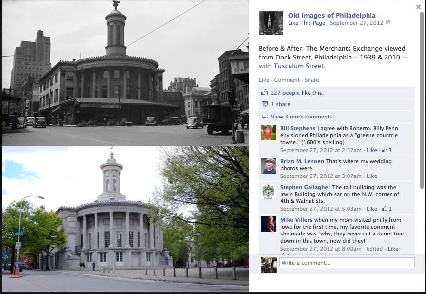
Originally posted on BGTT: http://briangoestotown.blogspot.com/2010/04/then-and-now-merchants-exchange-viewed.html
The list could go on.
I first contacted Mr. Manley by email
on February 25 with a notice to remove the 43
unauthorized images that I initially counted. Despite his efforts to
apologize, he refused to remove the offending images due to a computer issue. Those
photographs were reported to Facebook on February 27, and were
removed by the following morning. It was only after this and my
exchanges with Manley that I discovered the additional hundreds of
photographs, and the true depth of the problem. As I do not wish to
prolong this affair much further, I will shortly report the
remainder of the stolen images that I am aware of to Facebook.
While writing for Brian Goes to Town, I
made every effort to provide fair and accurate credit to the
providers of the historic images and to all information sources which
were consulted during the writing of each post. The then-and-now
images were always meant to be seen with the accompanying commentary,
sources and credits. Duplication of my work without permission or
acknowledgement is an affront not only to my efforts, but to those
who made my work possible and to anyone who may be inspired to do
their own research. On a personal level, it is extremely painful to
see another person handily receive credit and praise for works which
required hours of my travel, research, and writing. Proper sourcing
and crediting of images and written materials is a matter not only of common
decency, but the law.
I have largely left this blog untouched
since moving to Los Angeles in 2010, and I sincerely apologize to all
whose comments have been awaiting moderation for months, even years.
While it is unfortunate that I could not revisit this blog on a
happier occasion, I am humbled and truly thankful for all of the
support that I have received in the past few days. As always, thank you
for reading.
Brian Hsu


