 Photo credit: Eric Mencher for Philadelphia Inquirer.
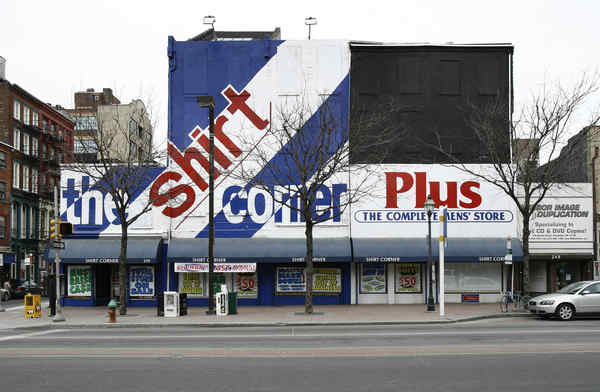
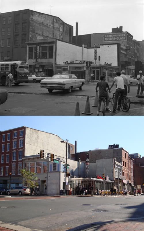
Another page turns for Old City Philadelphia. Michael Klein at the
Insider reported a week ago that the Shirt Corner, the landmark business at the northeast corner of 3rd and Market, would be closing shortly as its owner is entering retirement. At the time, Phoodie floated the
unpleasant rumor that the long-time bastion of Old City's pre-gentrification era businesses could be replaced by none other than a decidedly un-hip Applebee's outpost. However, it looks like the truth may be much worse, as Inga Saffron reports in today's Inquirer.
Although the properties remain in the hands of the Shirt Corner's 77-year-old owner, Marvin Ginsberg, a potential buyer is scheduled to appear today before a Historical Commission subcommittee to request permission to tear down the row of mid-19th-century structures.
Though the request today will likely be denied since the buyer, Avi Nechemia, has failed to submit all required documentation, things might not stay that way for long...
Were Nechemia to supply the information, there are indications that the demolition could eventually win approval from the commission. In its one-page analysis, the Historical Commission's advisory staff pointedly noted that "this application has some merit."
...Though the plan involves tearing out a big chunk of Market Street's original commercial fabric, Nechemia is promising to replace the lost buildings with a faithful replica that disguises a modern interior.
Historical Commission Executive Director Jonathan Farnham doesn't seem to see particular importance in the existing structures either, claiming that they "themselves are not key to the district's character."
Okay, so the Shirt Corner's buildings aren't very pretty. Even in their original, unaltered state, they would have none of the height, vast windows, or cast-iron flair of the late-19th century commercial and manufacturing buildings that Old City is known for. But a brief stroll in the neighborhood (or on Google Street View) should tell you that the district has just as many or perhaps more non-descript brick buildings standing around that in effect contribute no less to its lively and eclectic streetscape, and are no less part of its architectural heritage.
Thus, I find Farnham's statement rather alarming. During its urban renewal days, neighboring Society Hill lost plenty of its Victorian-era architecture to liberal destruction of buildings deemed "not key to the district's character." This strange desire for homogeneity in historic districts is all too common, and when acted upon, always tends to create overly artificial and somewhat sanitized neighborhoods. Plain as the buildings in question are, they testify honestly to Old City's industrial 19th-century history.
In addition, remnants of this era have unfortunately fared very badly elsewhere on Market Street. The north half of the 100 block was entirely demolished in the construction of Penn's Landing, as was a good portion everything between 3rd and 5th, including the entire 400 block. Market Street in Old City by no means needs to lose any more of its 19th-century buildings than it already has. Lastly, historical replicas seem more often than not to be done rather poorly, and I am highly wary of the possibility of seeing one here.
I'm sure that the buildings will not be simple to readapt, but I can't bring myself to accept demolition as an answer. What is to prevent the developer from demolishing the buildings and failing to follow through with construction plans? Will we perhaps get a nice surface parking lot? It's hardly out of the question in this economic climate. I say it's a risk that Philadelphia simply cannot afford to take.
Shirt Corner closing, site's future in play [Philadelphia Inquirer]
 1965-2010
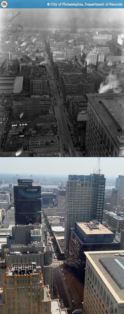
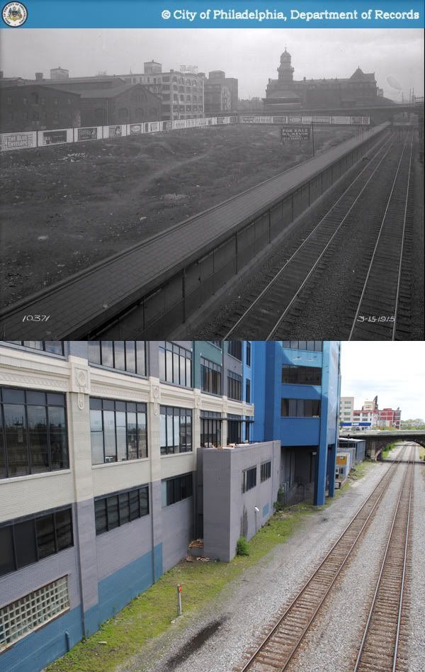


