 1970-2010
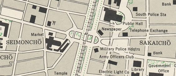 Ximen Circle in 1945 (photo credit below)
The intersection's configuration dates back to the early days of Japanese colonization. After the Japanese empire took control of Taiwan in 1895, it took few delays in shaping Taipei into the island's provincial capital. In 1900, the colonial government began to dismantle its city walls, replacing them with a series of boulevards, including Zhonghua Road on the western side. The walled city's western gate was demolished and replaced by an elliptical plaza and traffic circle, shaped like a smaller version of the Place de la République in Paris. Railroad tracks were built in the median of Zhonghua Road shortly afterward.
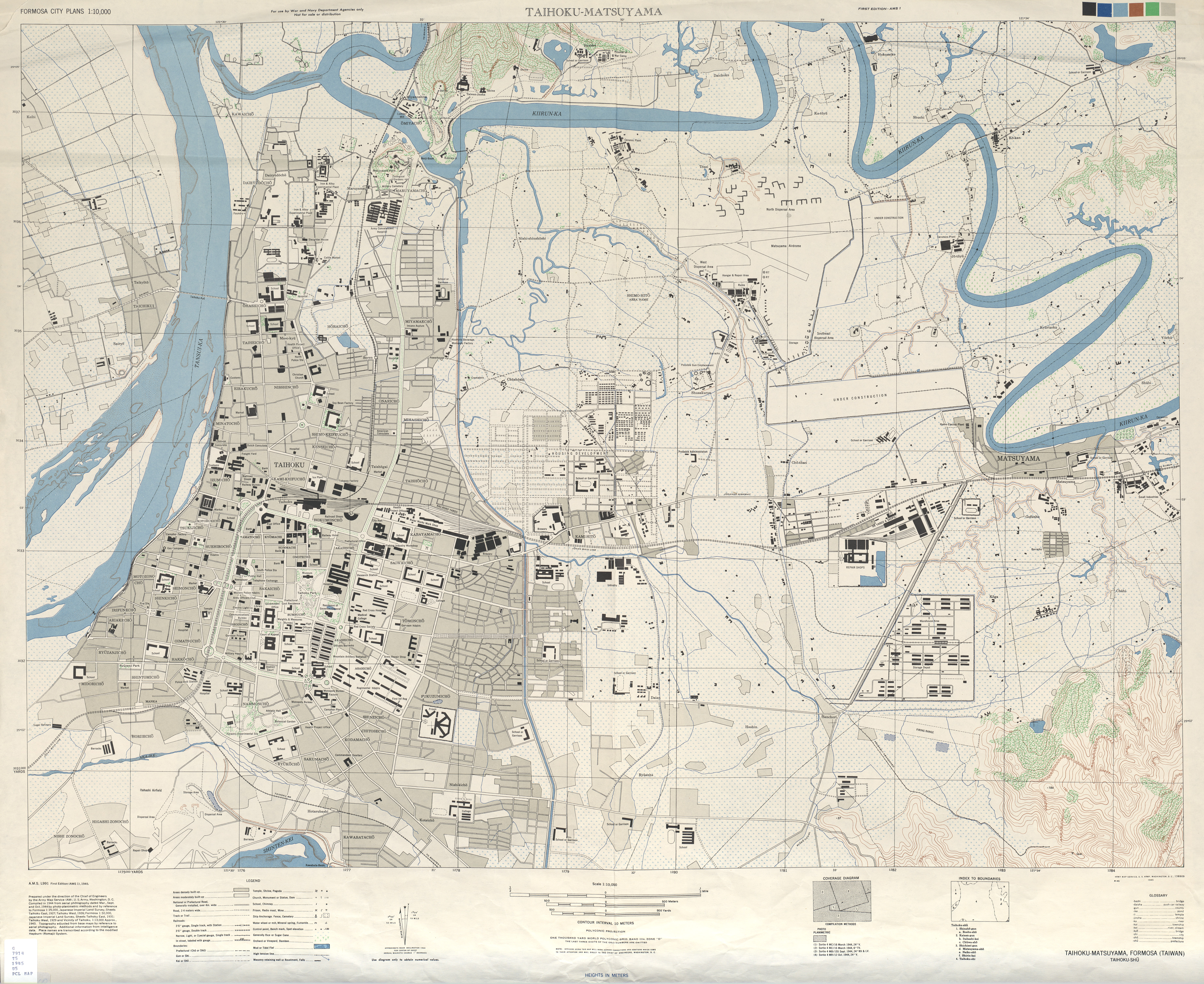
 Ximen Circle's railroad tracks and central plaza, 1978 (photo credit below).
 1972-2010
Then and Now photographs:
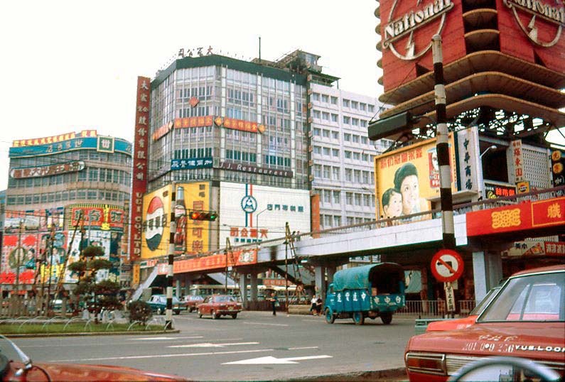
1. Carpenter, N. "Oversea Chinese Emporium Ltd." 1970. Shulinkou Air Station. 24 Jul. 2010. http://members.tripod.com/Shulinkou/shimading2.jpg.
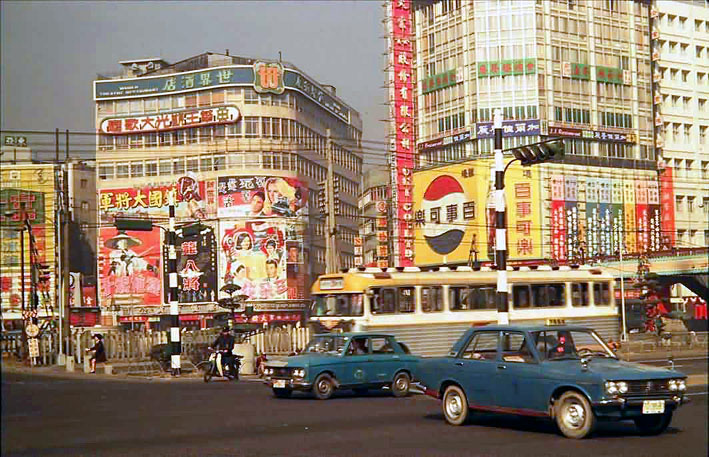
2. Duffin, L. "1972 shot of the same location and view as photo #1 above." 1972. Shulinkou Air Station. 24 Jul. 2010. http://members.tripod.com/Shulinkou/tpe019a.jpg.
Other photographs:
1. "0005017388 - 台北市西門町." 1978. 行政院新聞局. 國家文化資料庫. 行政院文化建設委員會. 2 Aug. 2010. http://nrch.cca.gov.tw/metadataserverDevp/DOFiles/jpg/00/05/12/33/cca100069-hp-0006640030-0001-i.jpg.
2. U.S. Army Map Service. "Taihoku-Matsuyama." 1945. Perry-Castañeda Library Map Collection. University of Texas Libraries. 2 Aug. 2010. http://www.lib.utexas.edu/maps/ams/formosa_city_plans/txu-oclc-6565483.jpg.