Here in Philadelphia, SEPTA runs a very extensive bus network that (at least on weekdays) provides good and frequent service on most city routes. This is probably one of the city's most well-guarded secrets. For just about anyone who's never needed to get somewhere by bus, the whole thing's an enormous, inscrutable mystery. In many ways, it comes down to a simple problem of signage.
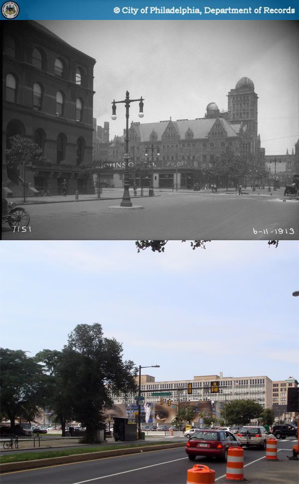
 Can you spot the bus stop?
SEPTA's bus stops aren't actually invisible, but to transit newbies, they might as well be. The vast majority of their stops are marked by small signs attached to light or power poles, easily lost among other messy streetscape elements. But that's really the least of our problems. The signs themselves provide minimal descriptions of route endpoints and major roads taken, but even if one is familiar enough with the city's geography to know where those are, most routes tend to wind around quite a bit, so it's really not saying very much. There's a customer service number you could call, or you could wait for the bus and ask the driver, but who really wants to bother with that?

Of course it doesn't need to be this way. There are lots of transit agencies out there that have their bus stops very well thought out, perhaps none more so than Paris. Each stop with a bus shelter (most of them) is equipped with route maps, system maps, a neighborhood map, and a nifty electronic screen that displays waiting times for each route.


Unfortunately, this costs a lot of money, something which SEPTA and most US transit agencies have historically been short on. But an effective and informative system can still be devised on a more restricted budget. For an indication of how much information can be packed into small signs, Taipei provides a sharp example. Each bus signpost has a basic map listing all stops, transfers to rail services, off-peak and peak hour frequencies, and first and last bus times.

It's already miles ahead of what SEPTA provides - to get any of that kind of information most of us just have to spend our time fumbling through route maps online or in stations. Attracting more people to transit is one of the most important challenges of the 21st century, and all forms of transit should be made as easily navigable as possible to draw new ridership. The biggest hurdle in learning a bus system is finding bus stops, routes, and where they connect. Unfortunately, SEPTA makes this about as hard as it could be. Putting aside notions of social stigma that surrounds taking the bus, is it any wonder that buses have few casual riders given how inaccessible the system is? If SEPTA really wants to be a world class transit network the city deserves, this isn't going to cut it anymore.

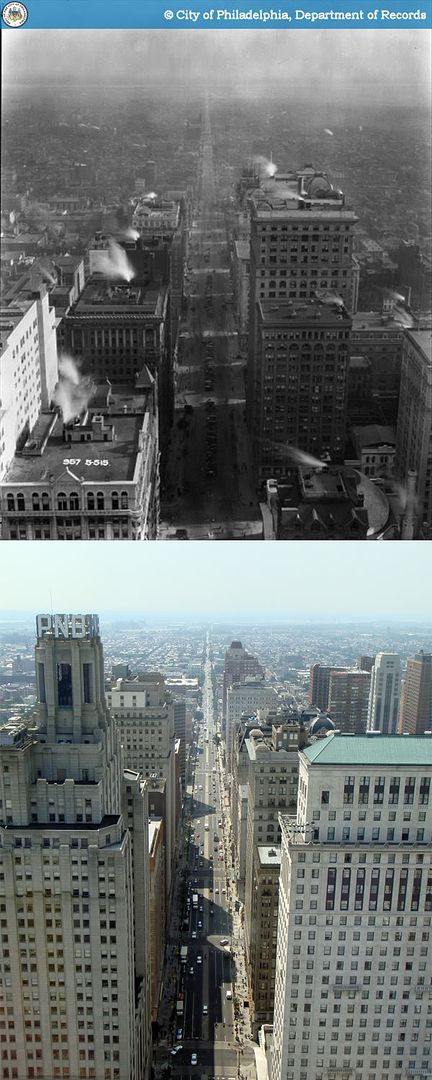
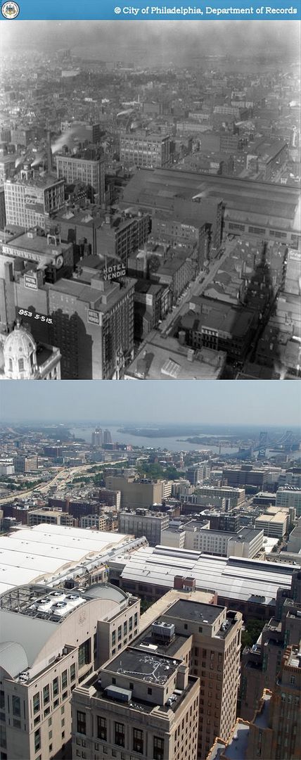
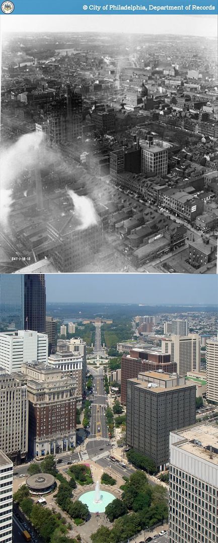
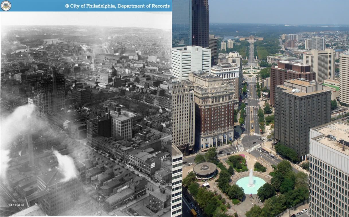
 1952-2009
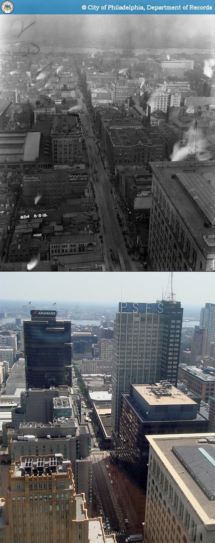


